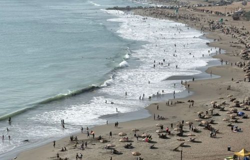
Erroneous assumptions by scientists regarding sea level rise have downplayed
Scientists' erroneous assumptions about sea level rise underestimated the threat. In fact, flooding has been underestimated, so the data taken into account by governments was misleading and did not allow for adequate preparation for the disaster.
This was reported by ScienceAlert, citing a study in the journal Nature.
After reviewing hundreds of analytical reports, scientists found that 90% of studies considered the base height of coastal waters to be 30 cm lower on average. This problem is less common in Europe and the Atlantic coast, but was most frequently observed in the Global South, the Pacific coast, and Southeast Asia.
A "blind spot" in methodology
The cause of the global error was found to be a discrepancy in the measurement methods for water and land. According to Philip Minderhoud, professor of hydrogeology at Wageningen University and co-author of the study, calculations are correct within their areas, but when land meets water, some factors of the difference are ignored. As a result, errors occur when using satellites and ground models.
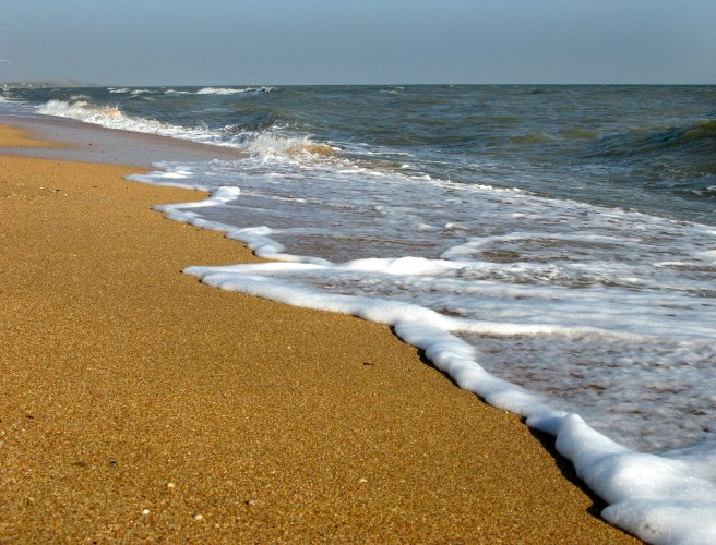
One of the key omissions is the actual measured sea level. It is often ignored, and an elevation of zero meters is used for calculations. However, in some regions of the Pacific basin, it can be as much as a meter higher.
Many researchers also took sea level without waves, tides, and currents as the starting point for their calculations, although in reality these factors have a significant impact on the coast.
Tens of millions of people at risk
If the shoreline were aligned to a more accurate baseline, risks could be better forecasted and clarified. Thus, should oceans rise by just over 1 meter, up to 37% of land and 77–132 million residents of these areas would be at risk of flooding.
Therefore, scientists emphasize that for many people, flood risks are higher than previously believed. The most fragile situation is in Southeast Asia, where calculation discrepancies are the largest.
Professor Minderhoud pointed to island nations in this region as areas where the gap between reality and calculations is particularly evident.
From global to local
This study highlights how calculations that seem correct on paper can be misleading for specific communities and territories.
However, other scientists asserted that local planners are aware of specific location issues and take these into account in their work. At the same time, researchers agree that studies on sea level change should nevertheless be improved.
EcoPolitic previously reported that scientists are planning to surround the Doomsday Glacier with a 150 km wall. In this way, the ice mass is to be protected from the effects of warmer waters and, consequently, from melting. Already, this glacier is responsible for 4% of the global rise in sea level. If it melts completely, the World Ocean will rise by 65 cm.